
Participatory Land use planning and assessment
Type: Approaches
Creation: 2018-04-13 12:04 Updated: 2018-06-12 06:15
Compilers: Askarsho Zevarshoev
Reviewers: Farrukh Nazarmavloev
Country/ region/ locations where the Approach has been applied
- Country: Tajikistan
- Map: View Map
Description of the SLM Approach
Short description of the Approach
Participatory Land Use Planning and Assessment is an inter disciplinary approach to the land use with combination of the modern tools and community knowledge to identify land degradations with its intensity and trends and through this approach design intervention directed toward land degradation prevention. This approach also compiles different tools including PRA and soil assessment and LADA techniques in a participatory manner. The approach address issues with all categories of land use including crop and pasture land, forest and even settlement with regards to natural disaster consideration for construction.
Detailed description of the Approach
As a precondition to the development of evidence- and needs-based plans, Participatory Land Use Planning and Assessment (PLUPA) will be conducted, with participation of local specialists, to assess sub-watershed natural and human-induced hazards and natural resource conditions, and IHA results will be presented to community and local government stakeholders to foster ownership. The outcome will improve community involvement in development by enhancing the ability to conduct local development planning and implementation.
Attention will be given to promoting the role of women in local development.
The PLUPA will employ terrestrial inspection of the land using simplified tools based on the WOCAT questionnaire for the land management technologies. The field-based assessment will include physical inspection of the land use and collecting necessary data like GPS points and information on target watershed (e.g. availability of pastureland, natural hazards, public and private infrastructure). The remote sensing component will be used for analyzing images and identification of trend analysis as well erosion on soil, land degradation.
Communities (via CSOs) and local governments are involved in conducting PLUPA, and will drive and own the result for development of their plan at watershed level. They will also be core stakeholders in the prioritization of water, health, and NRM interventions as per watershed management plan, and will be partners and contributors (including financially) in construction and management of new infrastructure post-project. This fosters commitment and ownership, promoting development that is accountable, participatory, inclusive, transparent, and efficient.
Photos of the Approach
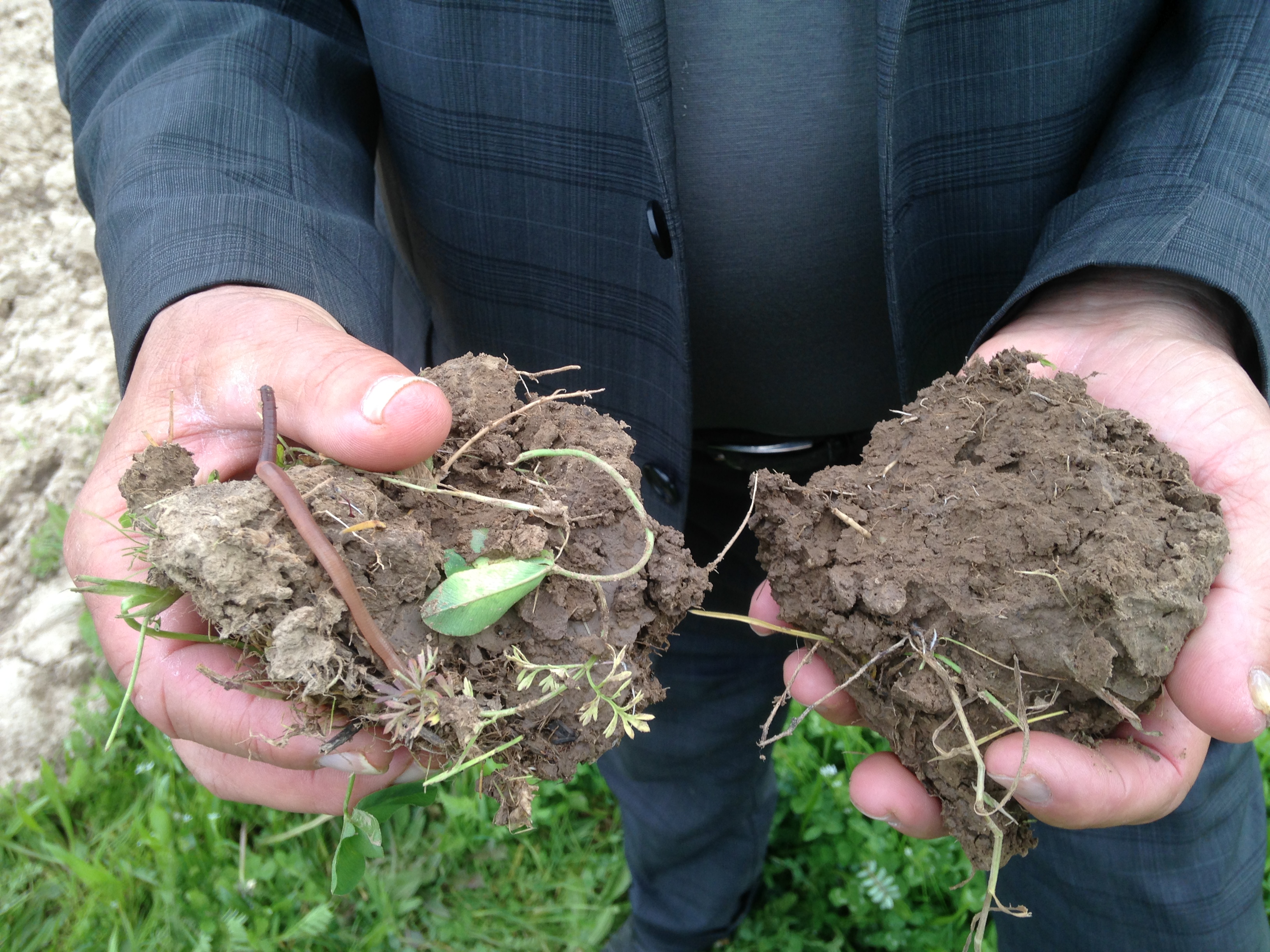
- 📍 Khatlon region/Muminabad district
- 📷 Amirali Kassam