
Returning Life to Mae Chaem Watershed by Integrated Land and Water Management
Type: Approaches
Creation: 2018-12-21 05:34 Updated: 2021-01-13 12:24
Compilers: Pitayakon Limtong
Reviewers: Rima Mekdaschi Studer, William Critchley
Country/ region/ locations where the Approach has been applied
- Country: Thailand
- Region/ State/ Province: Ban Thap Sub-district, Mae Chaem District, Chiang Mai Province
- Further specification of location (e.g. municipality, town, etc.), if relevant: Ban Thap Sub-district, Mae Chaem District
- Map: View Map
Description of the SLM Approach
Short description of the Approach
The promotion of a model that supports sustainable cultivation outside the protected forest area in the northern highlands of Thailand. The model is based on the knowledge of King Bhumibol Adulyadej (King Rama 9). It is a prototype model of the Institute of Sufficiency Economy and the Foundation for Natural Agriculture, and uses the New Theory Approach in Agriculture to build a self-sufficiency economy.
Detailed description of the Approach
This is the approach that supports "returning life" to the Mae Chaem area by an integrated land and water management system in the highlands, through the King Rama 9 initiative combined with local wisdom: or the "Khok-Nong-Na model". Most of this area is in Mae Chaem Reserved National Forest, an upstream watershed which is strictly preserved as forest and does not officially allow people to live and cultivate. However, communities have been earning their living there for a long time before the reserved forest law was announced, which deprived them of the right to own the land and use it for agriculture. Previously all land users earned income by encroaching into Mae Chaem National Forest Reserve - and converting it into maize, shallot and cabbage fields. The forest area was intruded upon, making the soil erode, and therefore soil fertility and productivity decreased. The integrated water management system by King Rama 9’s initiative together with local wisdom, is a prototype model at the Sufficiency Economy Institute and the Natural Agriculture Foundation, supporting the “New Theory of Agriculture” based on a self-sufficiency economy. The Foundation has explained to all land users that this concept called "Khok-Nong-Na" divides the area into 30:30:30:10 portions as follows; 30% for water sources (farm ponds, small water channels), 30% for rice fields, 30% for trees, and 10% for housing and animals. Implementation of Khok-Nong-Na models will depend on the topography of the area are as follow:
1. Upland or "mound" (Khok) is the highland area as part of the mountain or hill to cultivate "three kinds of trees” as forests, namely "three forests, four benefits". “Three kinds of forests” means for consumption, construction and economy, while the fourth benefit is to preserve the ecosystem.
2. Reservoir (Nong), the lowland area as part of water resources, includes the checkdam or weir, the sediment trap, the water channel and the pond, for both consumption and agricultural use. The checkdam or weir in the upper area serves as a storage and to control the flow rate of water. The water channel is designed to deliver water to the pond or reservoir in the lower area.
3. Paddy field (Na) is an important component for rice cultivation because rice is the main staple. Rice terraces are established in the sloping area, with paddy fields in the lowland. The main purpose of rice production is for the farmer family’s consumption - as well as for income. The ridges around the rice terraces field should be high and wide to store greater amounts of water - as the water level in the paddy field can control weeds, accelerate plant growth and improve crop yields. The native rice variety grown in rich soil is immune to diseases and insects.
Photos of the Approach
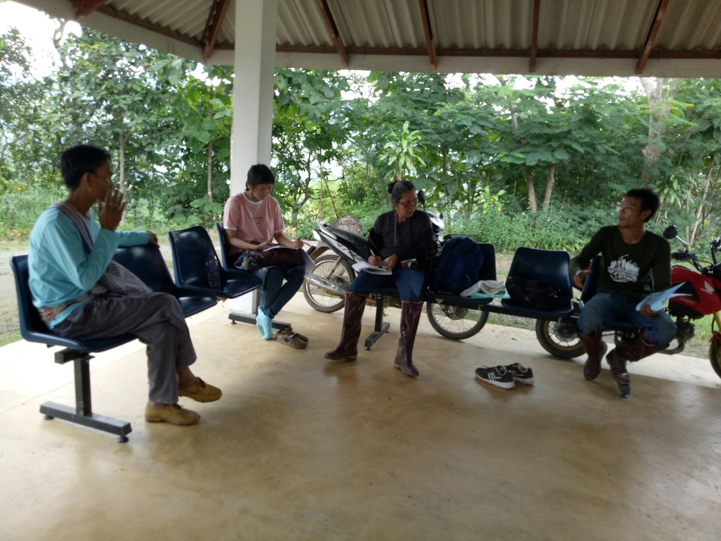
- 📍 Ban Thap Sub-district, Mae Chaem District, Chiang Mai Province, Thailand
- 🗓 2018-12-10
- 📷 Ms.Tanomkhaw Thipwong
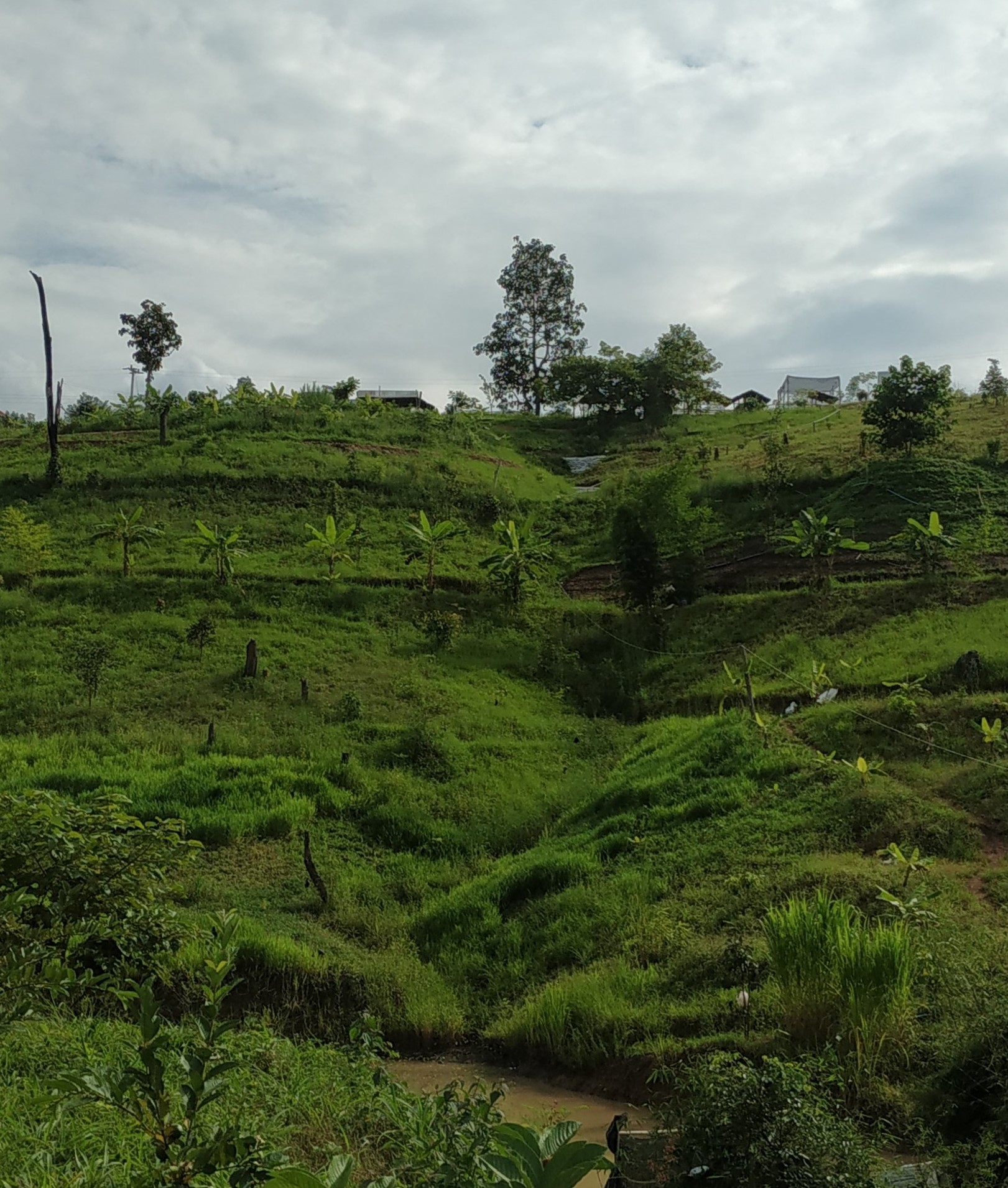
- 📍 Ban Thap Sub-district, Mae Chaem District, Chiang Mai Province, Thailand
- 🗓 2018-12-10
- 📷 Ms.Tanomkhaw Thipwong
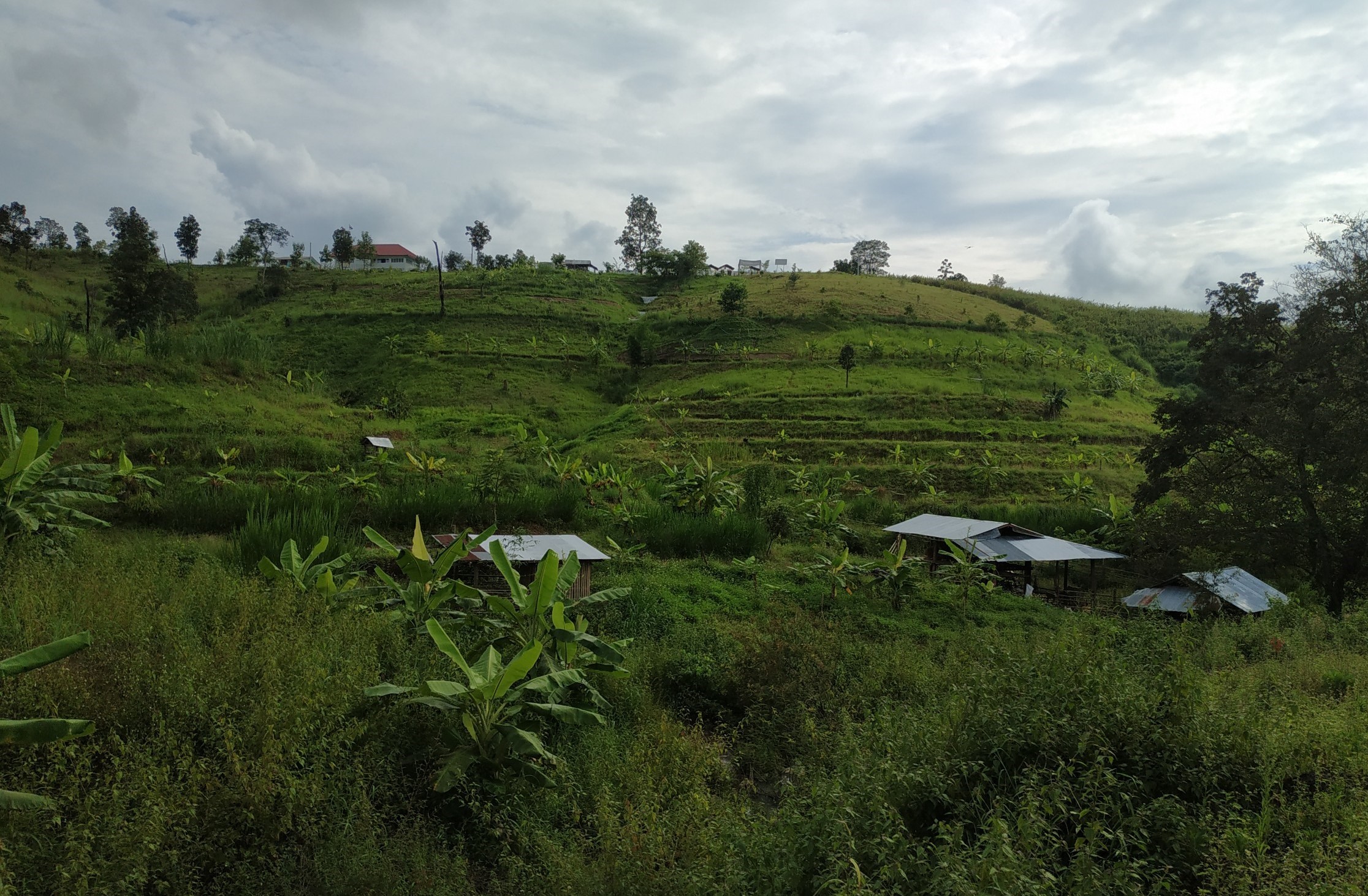
- 📍 Ban Thap Sub-district, Mae Chaem District, Chiang Mai Province, Thailand
- 🗓 2018-12-12
- 📷 Ms.Tanomkhaw Thipwong