
Disaster risk reduction and sustainable land-use by integrated rehabilitation of flashflood/debris flow affected site
Type: Approaches
Creation: 2019-01-15 17:26 Updated: 2019-01-31 16:57
Compilers: Stefan Michel
Reviewers: Umed Vahobov
Country/ region/ locations where the Approach has been applied
- Country: Tajikistan
- Region/ State/ Province: Sughd region
- Further specification of location (e.g. municipality, town, etc.), if relevant: Shahriston district; Shahriston sub-district, Shamoli site
- Map: View Map
Description of the SLM Approach
Short description of the Approach
A site affected by a debris flow was rehabilitated by joint communal work and integrated preventive measures addressing the upper catchment as well as the valley and the debris conus were implemented in collaboration of community, individual farmers, Committee of Emergency Situations and forestry enterprise.
Detailed description of the Approach
Local people in many parts of Tajikistan, among these the project region at the northern main slope of the Turkestan range, report about formerly unknown flashfloods and debris flows, even in areas where such events are not remembered. Also relief, soil and vegetation often confirm that such sites for long times had not been transformed by these forces. The occurrence of flashfloods and debris flows in formerly not affected areas, unusual seasons or an increase in frequency and destructiveness of such events can be attributed to land degradation in upper catchment areas in combination with climate change impact.
The degradation of the vegetation in upper catchments has contributed to reduced infiltration of water and high and fast surface runoff. Important elements of this degradation are overgrazing and deforestation. Overgrazing and out of season grazing cause the reduction of the protective plant cover and the multiple trails of livestock with compressed soil reduce infiltration and increase the surface runoff. Deforestation is typically related to intensive livestock grazing, in particular by goats, as intensive browsing prevents the regeneration of shrub and tree vegetation. In upper catchments affected by these processes during heavy rainfall and snow melt large amounts of water concentrate in small valleys and take with them large amounts of soil and gravel. The deforestation in valleys contributes to the intensity of such flashfloods and debris flows.
The frequency and intensity of these events is increasingly exacerbated by the impact of climate change. The already visible trends and predictions show higher levels of aridity, higher temperatures during the vegetation season, reduced overall precipitation in catchment areas – all affecting the retention potential of upper catchment areas – and more irregular rainfall patterns, reduced snow packs and accelerated snow melt as well as the loss of glaciers as buffers of water flow. These factors all contribute to a higher frequency and intensity of flashflood and debris flows and their occurrence in previously not or less affected areas.
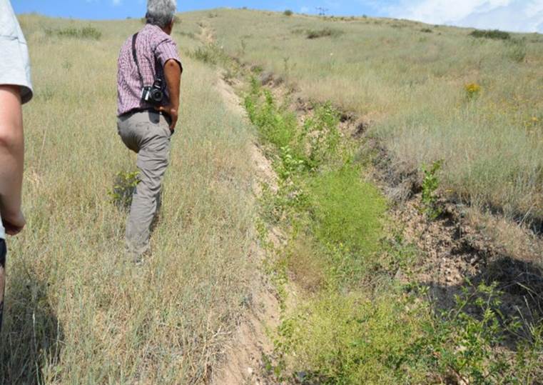
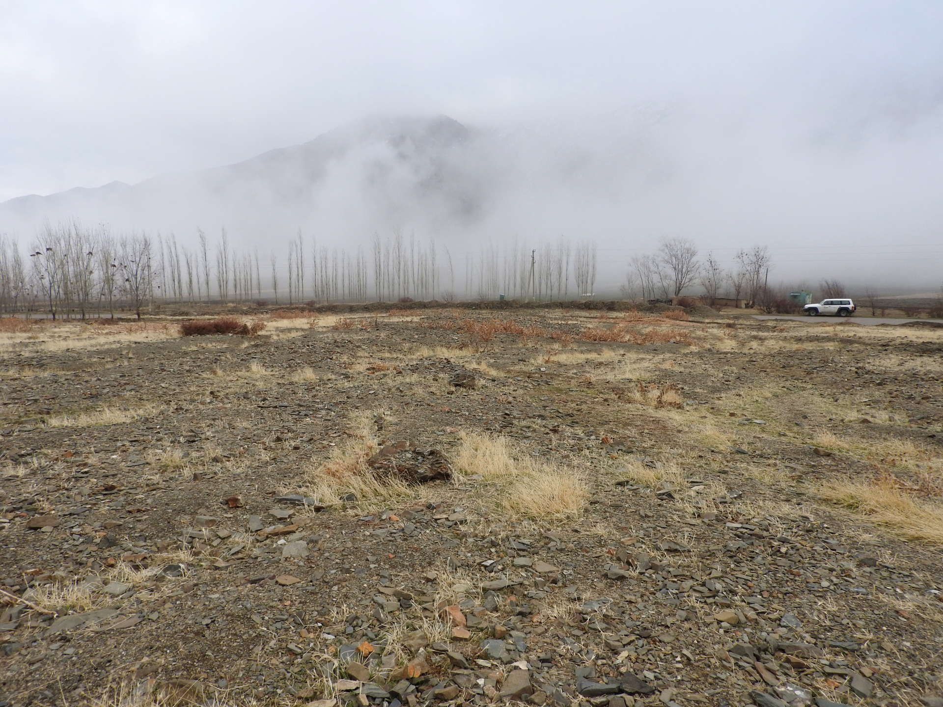
Near the village Shamoli in Shakhriston district, as in many other locations, such a debris flow made a road impassable and has destroyed pasture lands and five hectares of arable lands belonging to several farmers with another 10 ha being at risk in case such events occur again. Local people assisted by the Committee of Emergency Situations opened and cleaned the road. The developed in collaboration with experts an integrated approach for rehabilitating the affected lands and reducing the disaster risk. The approach included the following elements:
•Blocking of gullies with planting of willows for reducing sediment load in case of future flashfloods;
•Agreement with the forestry enterprise about general regulation of grazing and tree planting (specifics to be decided by the forestry enterprise);
•Joint communal work (hashar) for cleaning affected arable lands from debris;
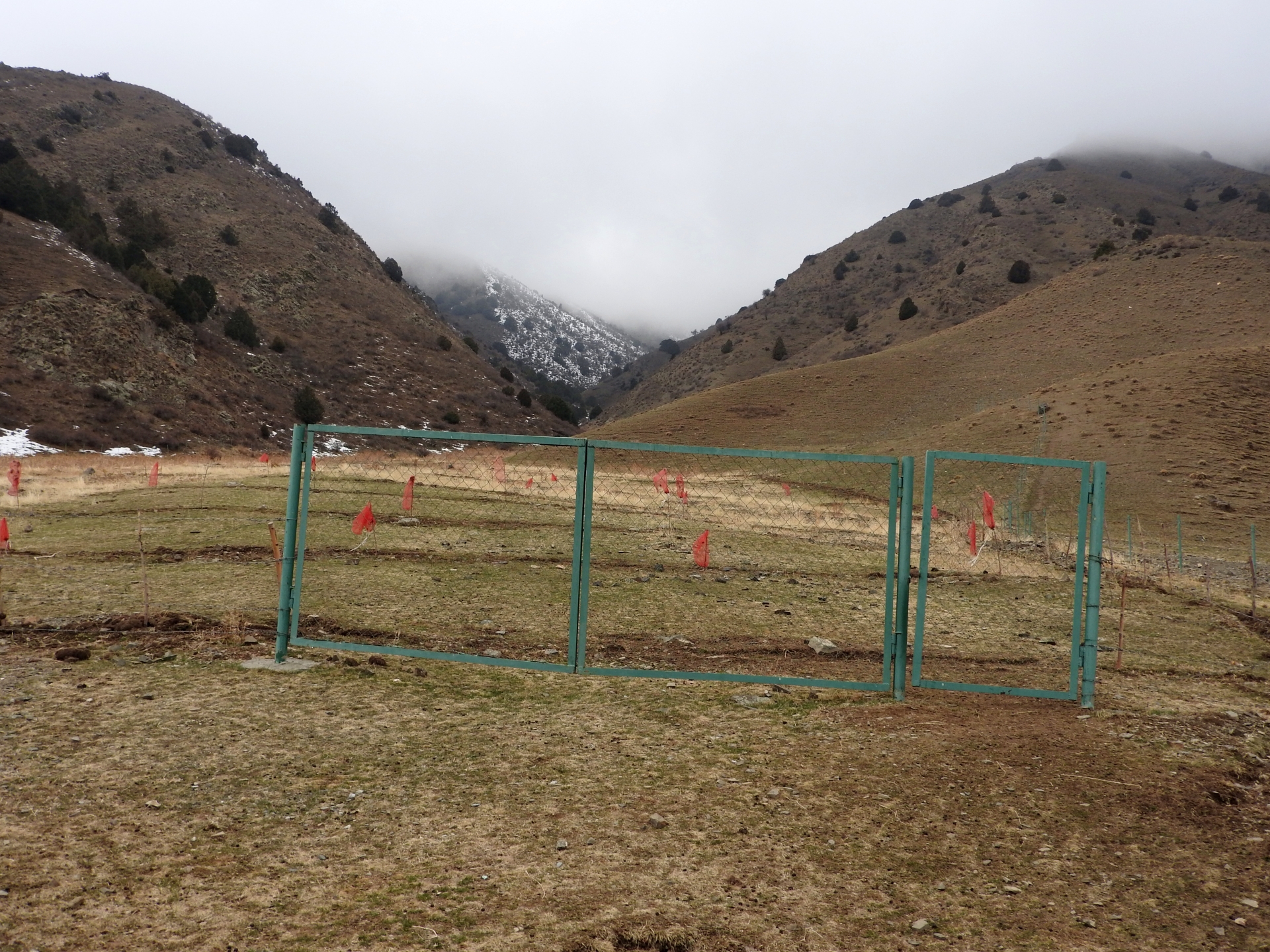
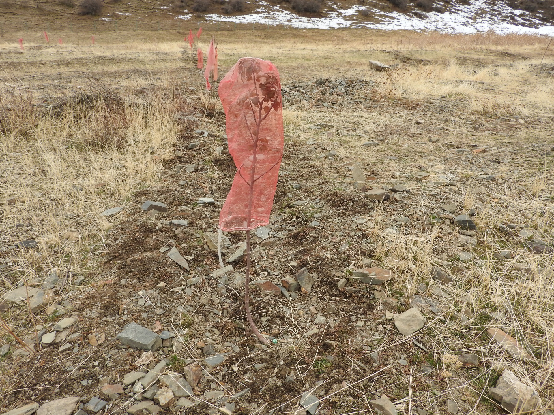
•Fencing of 4 ha lands in the valley leased by one farmer from the forestry enterprise for rehabilitation of protective vegetation and sustainable land use (orchard and hay making);
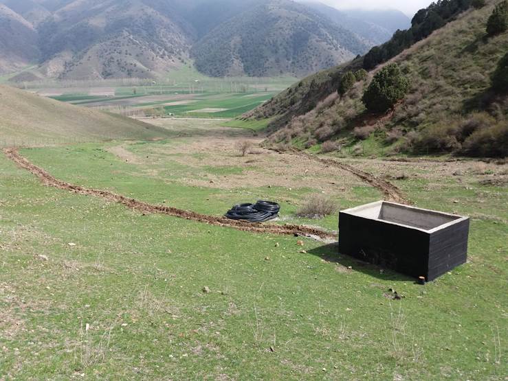
•Construction of reservoir for water collection from spring and use for drip irrigation of trees planted at the debris conus in the opening of the valley.
The approach brought together the Committee of Emergency Situations, the administrative communities, affected local people and the forestry enterprise. Assisted by experts provided by the project, the situation was jointly analyzed; risks identified and the integrated intervention planned. The project assisted with technical planning, construction supervision, purchase and transportation of construction materials. The community contributed about 30% of the overall costs, mainly in form of voluntary communal work, the so called hashar. One farmer leased the most critical area at the opening of the valley and took the responsibility for the maintenance of the area in exchange for the opportunity to use hay and fruits from the planted trees.
The approach is generally replicable. But in most such sites the upper catchment areas belong to different communities, often to different districts and substantial parts are located in neighboring Kyrgyzstan. Therefore addressing the degradation of these areas and a reduction of disaster risk through integrated watershed management in the entire catchments will require more collaboration across administrative boundaries and even national borders.
Photos of the Approach
- 📍 Sughd region, Shakhriston district
- 📷 Nodir Muhidinov
- 📍 Sughd region, Shakhriston district, Shamoli site
- 📷 Stefan Michel
- 📍 Sughd region, Shakhriston district, Shamoli site
- 📷 Stefan Michel
- 📍 Sughd region, Shahriston district, Shamoli site
- 📷 Nodir Muhidinov
- 📍 Sughd region, Shahriston district, Shamoli site
- 📷 Stefan Michel