
Integrated Land Use Plans for Municipalities in Georgia
Type: Approaches
Creation: 2021-04-21 15:05 Updated: 2021-07-13 12:32
Compilers: Daniel Zollner
Reviewers: William Critchley, Rima Mekdaschi Studer
Country/ region/ locations where the Approach has been applied
- Country: Georgia
- Region/ State/ Province: Shida Kartli and Kakheti
- Further specification of location (e.g. municipality, town, etc.), if relevant: Gori, Kareli, Kvareli, Sagarejo
- Map: View Map
Description of the SLM Approach
Short description of the Approach
Under the framework of the project ‘Generating Economic and Environmental Benefits from Sustainable Land Management for Vulnerable Rural Communities of Georgia’, four Integrated Land Use Plans (ILUPs) were developed to support sustainable agriculture and rural development in the Georgian municipalities of Gori, Kareli, Kvareli and Sagarejo. The objective of the ILUPs is to provide strategic guidelines for decision makers and authorities for the spatial development of agriculture at the landscape unit level over the period of 2021 to 2030.
Detailed description of the Approach
The project ‘Generating Economic and Environmental Benefits from Sustainable Land Management for Vulnerable Rural Communities of Georgia’, financed by the Global Environment Facility (GEF) and implemented by the Regional Environmental Center (REC) for the Caucasus, aims to develop new sustainable land management (SLM) systems at both the commune and farmer plot levels, that integrate climate-smart agricultural production, food security and resilience and thereby contribute to Georgia’s objectives for Land Degradation Neutrality.
This WOCAT-based approach describes the development of four Integrated Land Use Plans (ILUPs) for sustainable agriculture and rural development in the municipalities of Gori, Kareli, Kvareli and Sagarejo (each 1000-2500km2).
The objective of the ILUPs is to provide strategic guidelines for decision makers and authorities for the spatial development of agriculture in the four municipalities for the period from 2021 to 2030 at the landscape level. This takes into consideration the balance of nature and human needs, and integrates different sectors and perspectives in the plan. This is to create synergies on the one hand, and to avoid conflicting goals on the other. Special attention is paid to the complex interactions between agriculture, climate change and land degradation. Thus, the ILUPs aim to develop and strengthen Sustainable Land Management (SLM) practices, Climate Smart Agriculture (CSA) and Land Degradation Neutrality (LDN) and to provide different options for further development. Above all, the plans aim to bring together relevant aspects from existing strategies and policies with local needs and ideas and link them at the spatial level as far as possible.
The ILUP project was implemented between the years 2019 and 2021. The development of the plan needs different approaches and methods - including literature research, statistical data evaluation, field mission, GIS analysis, and suitability assessment. With inception and field visits, workshops with the municipal LDN working group, interviews with farmers, and analyses of different base maps, the land use, the suitability for their development options, and the degradation risks of the area were identified and reflected step by step. The intersection and aggregation of the data led to the definition of the following main basic functional units:
- High Production Value (HPV) Farmland (for perennials, annual cropland and grassland)
- High Nature Value (HNV) Farmland
- High Social Value (HSV) Farmland and, as a specific output,
- Hot Spots of degradation (water erosion, wind erosion, and salinization).
The results were documented in a sectoral, technical plan for each municipality. The ILUP is intended to serve as a basis for further planning, capacity building and decision making procedures within the framework of legal responsibilities and requirements (e. g. for the municipal spatial plan). A second document (also recorded under WOCAT) is based on the outcome of this showcase and predominantly focuses on LDN implementation options by the application and adoption of various SLM and CSA practices.
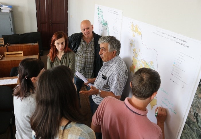
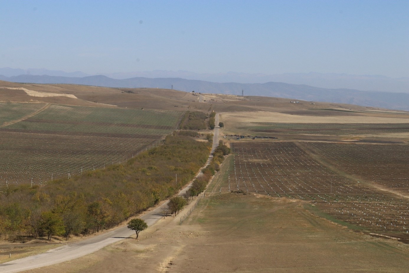
Photos of the Approach
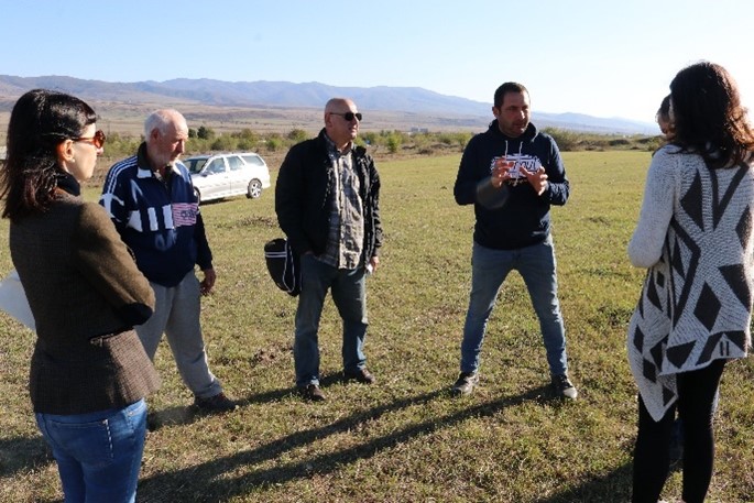
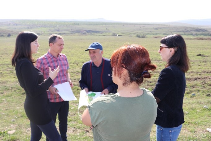
- 📍 Gori, Georgia
- 🗓 2019-04-11
- 📷 Mikheil Kurdadze
- 📍 Gori, Georgia
- 🗓 2019-04-11
- 📷 Mikheil Kurdadze
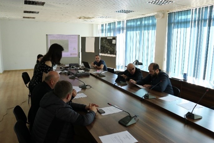
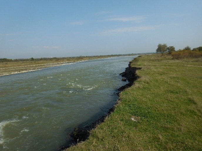
- 📍 Shida Kartli, Georgia
- 📷 Daniel Zollner
- 📍 Shida Kartli, Georgia
- 📷 Daniel Zollner
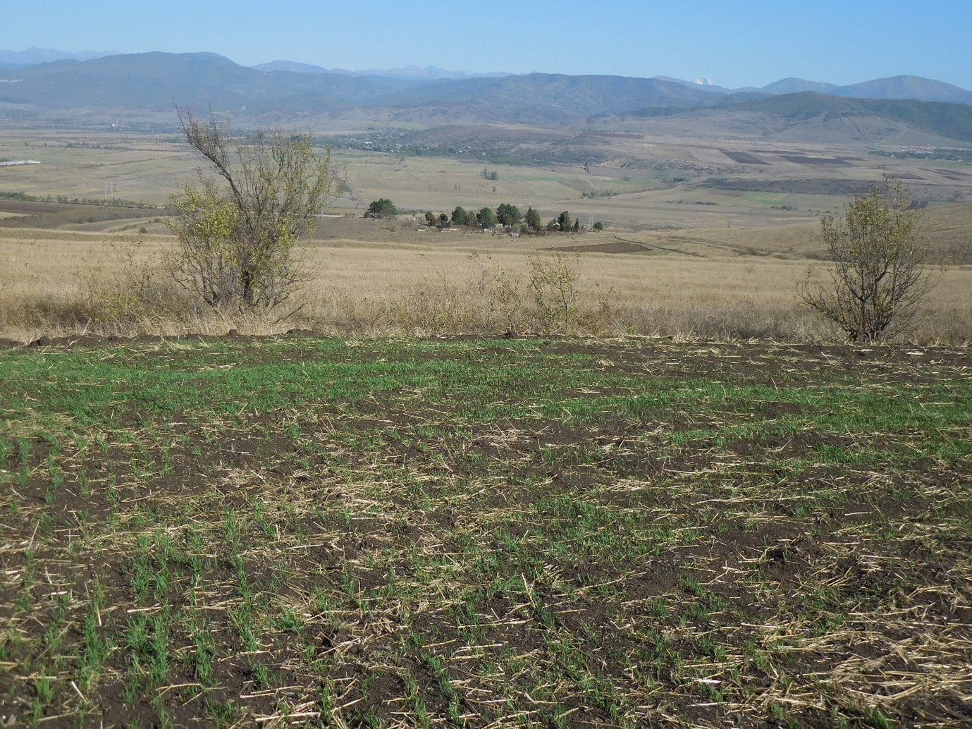
- 📍 Kareli, Georgia
- 🗓 2019-05-11
- 📷 Mikheil Kurdadze
- 📍 Kareli, Georgia
- 📷 Daniel Zollner
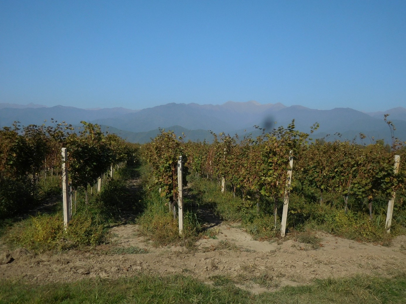
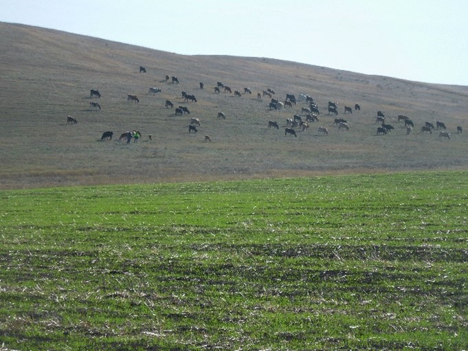
- 📍 Kakheti, Georgia
- 📷 Daniel Zollner
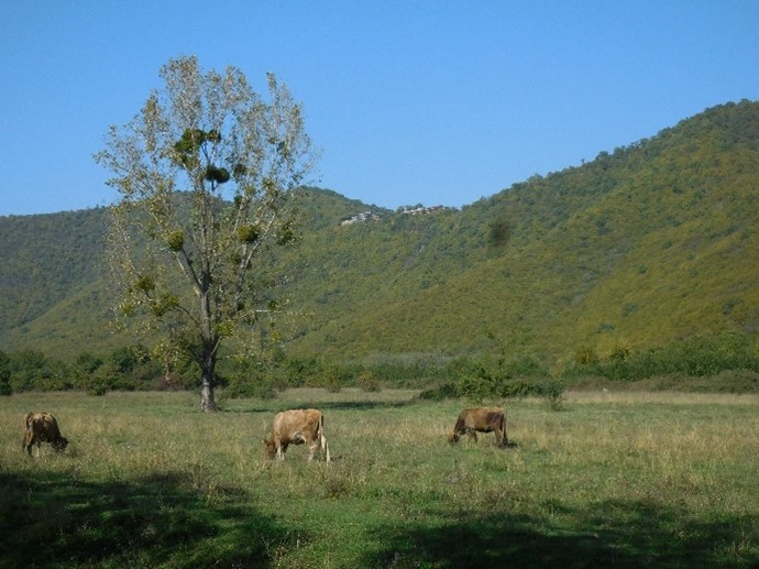
- 📍 Kakheti, Georgia
- 📷 Daniel Zollner
- 📍 Sagarejo, Georgia
- 🗓 2019-06-11
- 📷 Mikheil Kurdadze
- 📍 Sagerejo, Georgia
- 📷 Mikheil Kurdadze