
MAPPING, MONITORING, AND MITIGATION OF LAND DEGRADATION IN THE SULTANATE OF OMAN
Type: Approaches
Creation: 2021-08-01 10:43 Updated: 2021-09-09 14:55
Compilers: Laila AlShmali
Reviewers: William Critchley, Rima Mekdaschi Studer
Country/ region/ locations where the Approach has been applied
- Country: Oman
- Region/ State/ Province: Governorate of Dhofar, North and South Al Sharqiyah Governorates and Governorate of Al Dakhiliyah
- Further specification of location (e.g. municipality, town, etc.), if relevant: Governorate of Dhofar: Taqa, Taaqa farm, Zaik, Qiroon, Marbath, Al-Haqq and Taitam Governorate of Al Dakhiliyah: Al-Jabal Al-Akhdar
Description of the SLM Approach
Short description of the Approach
Mapping of land degradation in the Sultanate of Oman to identify areas with various degrees of degradation, and factors and processes causing degradation.
Detailed description of the Approach
The Environment Authority has implemented land degradation mapping in the Sultanate of Oman in the Governorate of Dhofar, South and North Al Sharqiyah Governorates, and the Governorate of Al Dakhiliyah, in cooperation with Sultan Qaboos University, with the aim of identifying areas with various degrees of degradation and identifying the factors and processes causing degradation.
This investigation was based on high-resolution satellite imagery using NDVI as an Index of land degradation in the Dhofar Mountains and the invasion of mesquite (Prosopis juliflora.) in the plain of Salalah, as well as very high resolution aerial and satellite images of Jebal Al-Akhder derived from National Survey Authority. Precipitation data from two WMO stations were also utilized to test the link between precipitation and vegetation health. Vegetation was mapped to monitor changes and its health over time. In addition, a socio-economic survey in the Governorate of Dhofar was conducted, based on random sampling. The survey covered 6 different locations (Taqa, Taaqa farm, Zaik, Qiroon, Marbath, Al-Haqq and Taitam). The preliminary results clearly show that the study area has witnessed significant land use change between 1985 and 2013, marked by the emerging of a significant built-up area and water conservation infrastructure.
Spot images clearly show sharp changes in vegetation health through the years from 1994 to 2013. Vegetative vigour is lower in all years compared to 1994. Besides, the investigation shows a statistical relationship between rainfall and the status of the health of vegetation. Monsoon rainfall has an impact on the growth of vegetation. Around 2002-2003, the region suffered a major drought. Between 2012 and 2013, vegetative activity shows a decreasing trend. The analysis identified an area affected by the worst degree of land degradation. This area is situated in the southeastern of the Dhofar Mountains. In this area the process of land degradation is very active, with significant decrease in vegetation in 2013 compared to 2004. The mequite invasion in the Salalah Plain contributed to the degradation of natural vegetative cover in Dhofar Governorate. In nearly 30 years, the infested area almost quadrupled, indicating an average rate of expansion of 122,555m2 per year. The mesquite stands seem to have survived through the drought of 2002-2003.
The preliminary results of the survey clearly show that the mountains of Dhofar are under heavy anthropic pressure. The number of livestock is increasing and the native plant species are in great demand for cooking and heating.
Fortunately, the analysis identifies two areas, situated in the south-west of the study area, where vegetation has increased in vigor and density. The areas preserved from this process are usually inaccessible and far from human activities.
Vegetation cover change in Al-Jabal Al-Akhdar from 1985 to 2014 was analysed using very high resolution aerial and satellite images. Vegetation cover is also studied near settlements, dams, in wadis, and in agricultural areas. The change in total vegetation cover in the study area of Al-Jabal Al-Akhdar from 1985 to 2014 is very evident from the analysis of the data and maps produced.
Vegetation cover increased from 7.38 km2 during 1985 to 13.65 km2 in 2014. This change of vegetation cover was most noticeable in wadis and gullies where vegetation increased from 4.56 km2 during to 9.38 km2. One main factor that might be contributing to this increase of vegetation in wadis is the increase in the number of dams for storing surface water, as the number of dams increased from 7 in 1985 in the study area to 27 in 2014. Vegetation within and around 1 km of settlements in the study area increased from 2.09 km2 during 1985 to 5.45 km2 in 2014. In all other areas, that are distant from human activities, there is a considerable change in green vegetation cover between 1985 and 2014 where vegetation cover increased from 2.49 km2 in 1985 to 3.91 km2 in 2014. It is important to note here that vegetation cover density has a strong correlation with the amount of rainfall in Al-Jabal Al-Akhdar and there was a large difference in the annual rainfall between the two years, i.e. 1985 and 2014. The annual rainfall in 1985 was about 150mm for that particular year. The year 1984 was not much better where annual rainfall was lower than 200mm according to available records. The annual rainfall in 2013, the year preceding date of image in 2014, was 466mm, which is three times higher that that of 1985. Given the results of this study, there is a clear indication that the amount of rainfall plays a major role in defining the density of vegetation cover even if land degradation is taking place in very localized areas where there is pressure from grazing, urbanization, and tourism.
Photos of the Approach
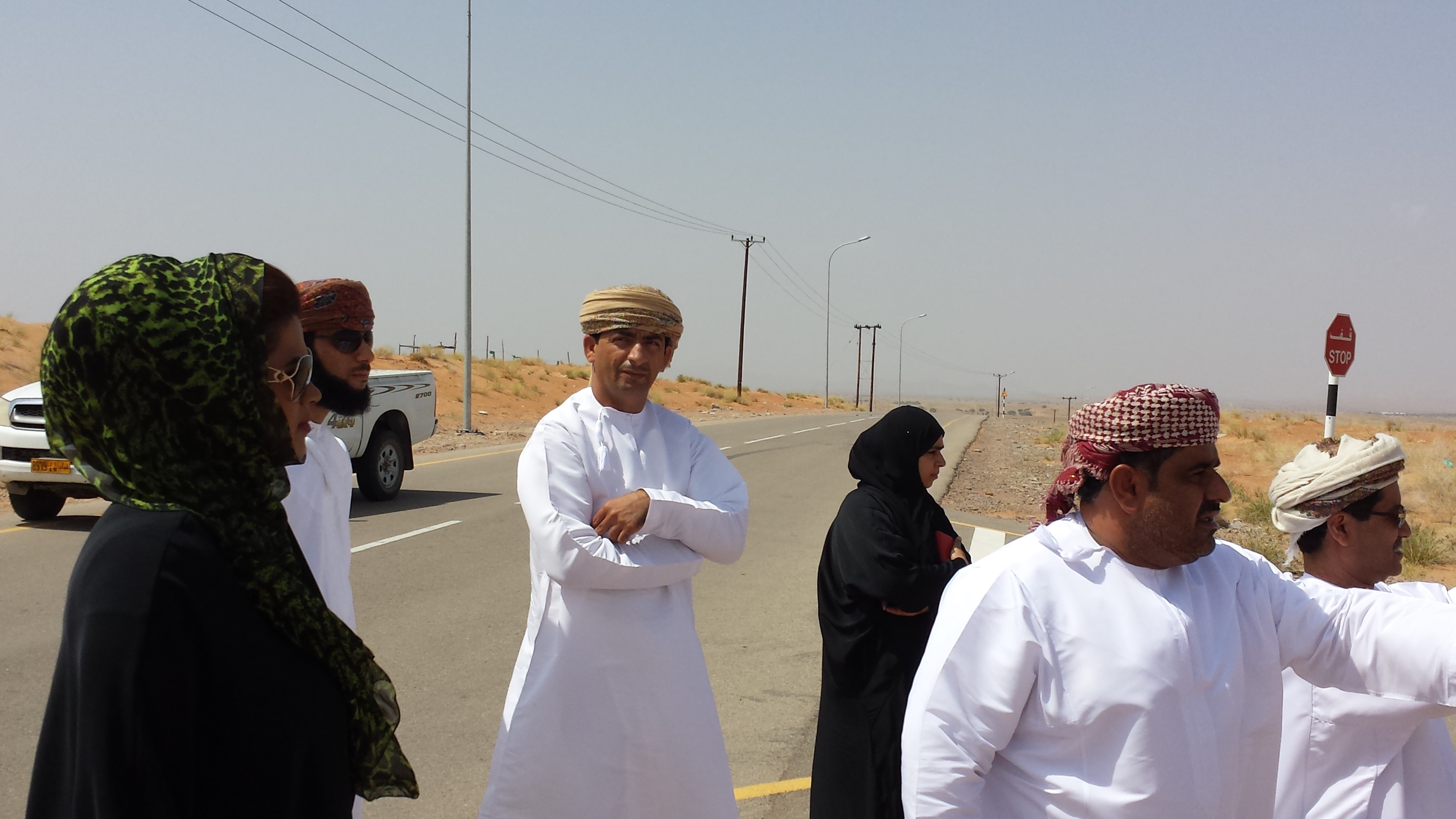
- 📍 Hawiya, North Al-Sharqiya
- 🗓 2013-10-09
- 📷 Malik Al-Wardy
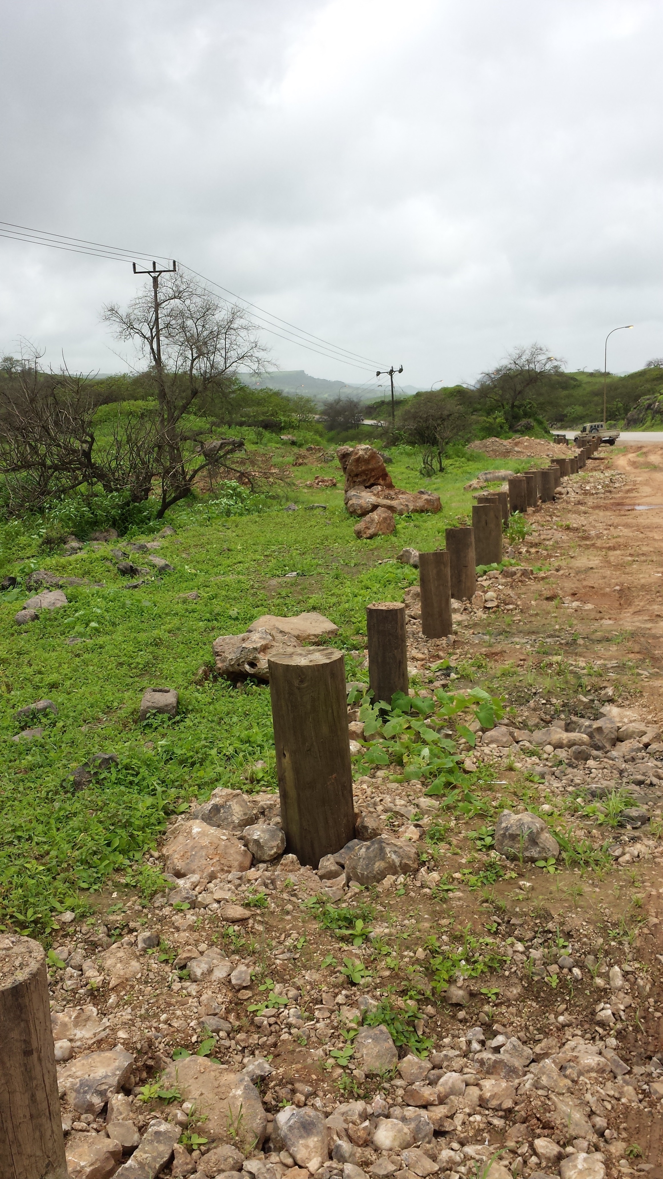
- 📍 Hawiya, North Al-Sharqiya Governorate
- 🗓 2013-10-09
- 📷 malik Al-Wardy
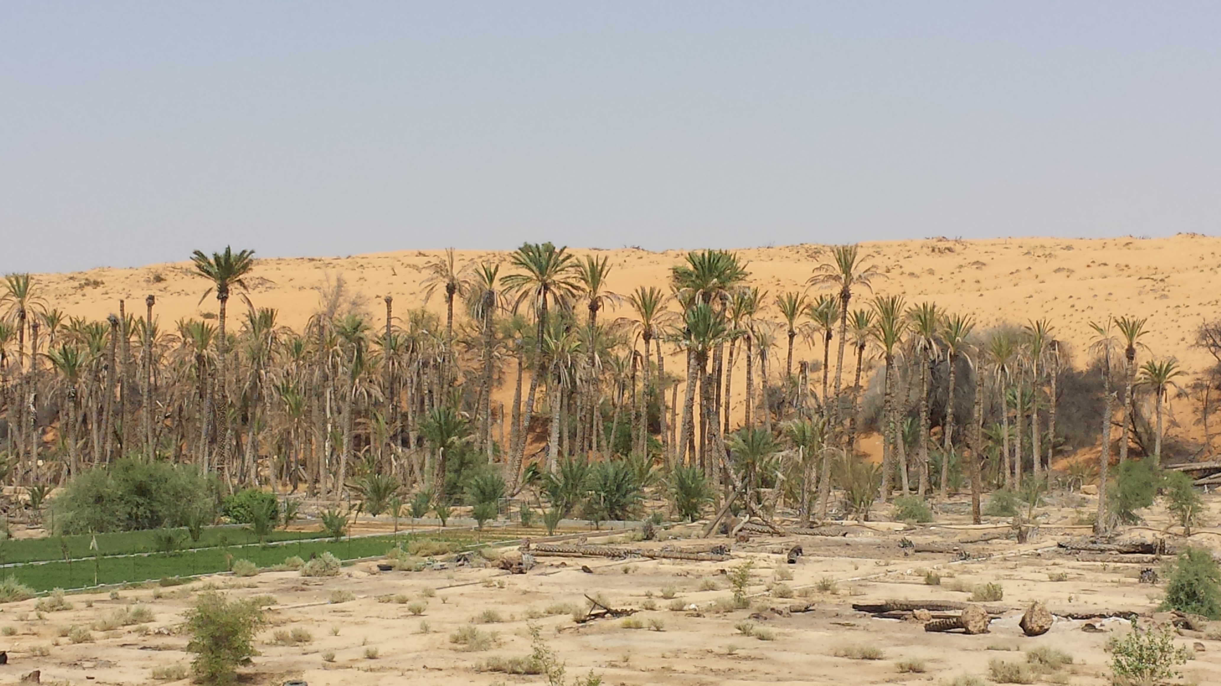
- 📍 Salalah, Dhofar Governorate
- 🗓 2013-03-09
- 📷 Malik Al-wardy

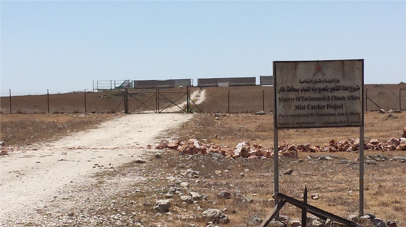
- 📍 Salalah, Dhofar Governorate
- 🗓 2013-03-09
- 📷 Ali Al-Rasbi
- 📍 Salalah, Dhofar Governorate
- 📷 Malik Al-wardy