
Check dam for land
Type: Technologies
Creation: 2011-05-11 10:59 Updated: 2019-09-04 13:37
Compilers: Fei WANG
Reviewers: David Streiff, Alexandra Gavilano
Country/ region/ locations where the Technology has been applied and which are covered by this assessment
- Country: China
- Region/ State/ Province: Shaanxi Province
- Further specification of location (e.g. municipality, town, etc.), if relevant: Yanhe River Basin
- Map: View Map
Description of the SLM Technology
Short description of the Technology
Check dam for land is a structural SLM practice that is constructed in the valley of a watershed in order to slow down the runoff and increase sedimentation. After this, the land quality of the controlling area will increase because soil and water conditions in this place are improved.
Detailed description of the Technology
The check dam is a small dam designed to reduce flow velocity, control soil erosion, and allow to settle on the bed of the valley. The whole system includes main body of dam, spillway, overflow and supporting measures. The check dam for land is a small dam mainly for land after it is filled up by the sediment from upstream area, from several years to 20 years in common, it could be flat land in the valley, not mainly for water collection (different from reservior).
Purpose of the Technology: Check dams in the Loess Plateau are very common. There are many advantages. The check dam could not only reduce the erosion of the gullies, furthermore it retain the sediment in the flow and this decreases the sediment of the Yellow River. The check dam is good quality land for the soils because of the sedimentation of organic matter and other nutrients from topsoil . In this region soils are deep and very fertile because most soil is from the top soil upstream. The soil moisture of check dam is also much better than in any other places in the watershed because the flood should go away from its surface and the water inflitration is great in raining seasons.
Establishment / maintenance activities and inputs: The establishment needs enough money because it has to be safe enough, and the maintenance cost is not so high. The catchment with great soil erosion is better when we considered the formation time of land.
Natural / human environment: The controlling area of check dam for land varies greatly from 30 square km or more. Since the "Grain for Green" Project of China in 1999, the soil erosion on the slope decreased. The time from reservoir to land need more time because there is less and less sediment from upstream and the sedimentation changed slowly.
Photos of the Technology
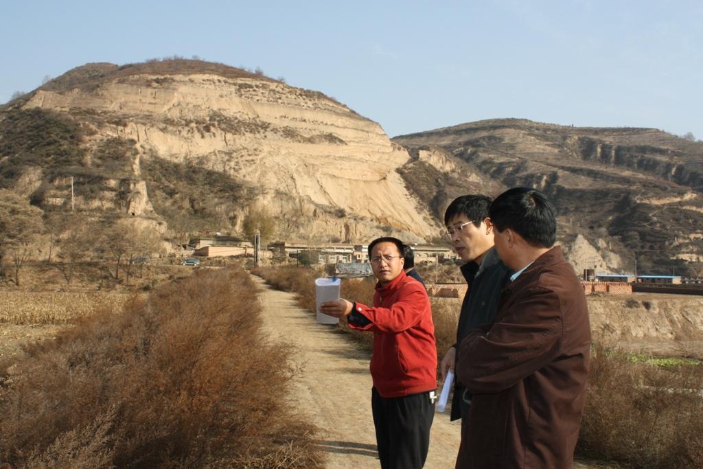
- 📍 Mazhuang Watershed, Liulin Town, Baota County, Shaanxi Province, China
- 📷 Wang Fei (Yangling, Shaanxi Province, China)
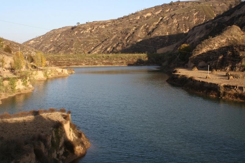
- 📍 Yangou Watershed, Baota County, Shaanxi Province, China
- 📷 Wang Fei (Yangling, Shaanxi Province, China)