
Geocoding of Million Fruit Trees for Monitoring and Tracking
Type: Technologies
Creation: 2023-07-06 18:49 Updated: 2024-05-30 15:34
Compilers: Nima Dolma Tamang
Reviewers: William Critchley, Rima Mekdaschi Studer, Joana Eichenberger
Country/ region/ locations where the Technology has been applied and which are covered by this assessment
- Country: Bhutan
- Region/ State/ Province: Thimphu Dzongkhag
- Further specification of location (e.g. municipality, town, etc.), if relevant: Sigay Chiwog, Mewang Gewog
- Map: View Map
Description of the SLM Technology
Short description of the Technology
Geocoding of fruit trees allows remote monitoring and progress tracking of the growth of seedlings. The Smart App MoDA (Mobile Operation and Data Acquisition) is used in geocoding.
Detailed description of the Technology
Geocoding of the “million fruit trees” initiative has been carried out across Bhutan. Different fruit trees suitable for particular agroecological zones were planted in farmers' fields in twenty districts and each sapling was geocoded.
The main elements of geocoding fruit trees involve assigning unique geographical codes or coordinates to individual trees within an orchard, utilizing technical specifications and equipment such as handheld GPS to accurately determine the location. The potential benefits of this form of geocoding include:
1. Location Mapping: Geocoding allows fruit trees to be accurately located on a map, providing a visual representation of their spatial distribution. This mapping can help identify patterns, clusters, and gaps in tree distribution.
2. Data Integration: Geocoded data can be integrated with geographic information systems (GIS) and other data sources, such as climate data, soil information, and topography. This integration provides a holistic view of the factors influencing fruit tree growth and productivity.
3. Precision: Geocoding provides precise coordinates for each fruit tree, enhancing the accuracy of data collection and analysis. This precision is crucial for making informed decisions regarding tree management and resource allocation.
4. Monitoring and Management: Geocoded fruit tree data enables efficient monitoring of tree health, growth, and potential issues. It facilitates targeted interventions, such as irrigation, fertilization, and pest control, based on the specific needs of individual trees or clusters.
5. Yield Estimation: By combining geocoded data with relevant environmental and growth information, it's possible to estimate the potential fruit yield in specific areas. This information aids in resource planning and harvest predictions.
6. Disease and Pest Management: Geocoded data can help identify patterns of disease or pest infestations. Early detection through geocoded monitoring can enable prompt intervention and prevent the spread of pests or diseases.
7. Biodiversity Analysis: Geocoding allows researchers to study the diversity of fruit tree species in different regions. This analysis can be useful for conservation efforts and understanding the ecological impact of specific tree species.
8. Research and Analysis: Geocoded fruit tree data serves as a valuable resource for scientific research. Researchers can study the effects of climate change, urbanization, and land use changes on fruit tree populations and ecosystems.
9. Decision-Making: Geocoded data assists farmers, agricultural agencies, and policymakers in making informed decisions about land use, tree planting initiatives, and resource allocation for sustainable agriculture.
10. Community Engagement: Geocoded maps of fruit trees can be shared with communities, promoting awareness of local resources, fostering community engagement, and encouraging initiatives like urban orchards or community gardens.
11. Data Visualization: Geocoded data can be visualized using maps and spatial tools, making it easier to interpret and communicate information to various stakeholders.
12. Long-Term Tracking: Geocoded data allows for long-term tracking of changes in fruit tree populations, aiding in the assessment of the success of planting initiatives and the overall health of the environment.
The major activity of the technology is marking the fruit trees with the help of GPS so that these geocoordinates can be useful in tracking down the exact location of the plant. Geocoding is labour-intensive as the field workers need to be physically present in the field while carrying out the activity. Then the data recorded in GPS is transferred to the computer and analyzed using ArcGIS. This information is available to the policymakers and Agriculture officers and is shared with the Extension Agents through which it is disseminated to the land users.
Photos of the Technology
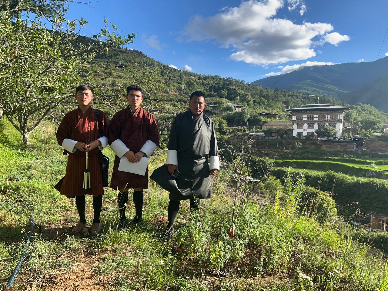
- 📍 Sigey Chiwog, Mewang Gewog, Thimphu Dzongkhag
- 🗓 2023-07-07
- 📷 Aum Tshogpa of Sigey Chiwog